


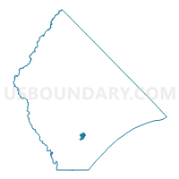
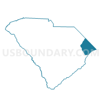
Forestbrook Voting District, Horry County, South Carolina
About
Outline

Summary
| Unique Area Identifier | 666077 |
| Name | Forestbrook Voting District |
| County | Horry County |
| State | South Carolina |
| Area (square miles) | 2.24 |
| Land Area (square miles) | 2.24 |
| Water Area (square miles) | 0.00 |
| % of Land Area | 100.00 |
| % of Water Area | 0.00 |
| Latitude of the Internal Point | 33.72610010 |
| Longtitude of the Internal Point | -78.95964260 |
Maps

Graphs
Select a template below for downloading or customizing gragh for Forestbrook Voting District, Horry County, South Carolina


Neighbors
Neighoring Voting District (by Name) Neighboring Voting District on the Map
- Emerald Forest 1 Voting District, Horry County, SC
- Emerald Forest 2 Voting District, Horry County, SC
- Palmetto Bays Voting District, Horry County, SC
- Socastee 3 Voting District, Horry County, SC
- Socastee 4 Voting District, Horry County, SC